Maps of Dedinky
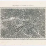 1873|Militärgeographisches Institut1:144 000
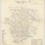 18401:290 000
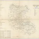 18401:280 000
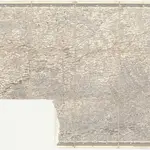 18501:500 000
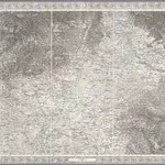 1856|[Wien : K.K. Militärisch-Geografisches Institut]1:576 000
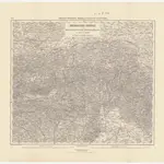 1870|K.k. militär. geografisches Institut1:750 000
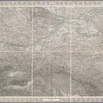 1856|[Wien : K.K. Militärisch-Geografisches Institut]1:576 000
Old maps of Dedinky
Discover the past of Dedinky on historical maps
Old maps of Dedinky
Discover the past of Dedinky on historical maps
Looking for a Google Maps API Alternative?