Mapas de Arklow
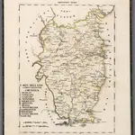 1830|Hermann, O.1:200 000
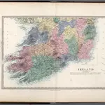 1865|Society for the Diffusion of Useful Knowledge (Great Britain)1:760 000
 1858|Clarke, Alexander Ross, 1828-1914
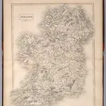 1841|Hall, Sydney1:915 000
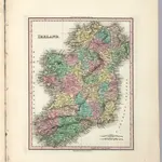 1833|Tanner, Henry S.1:1 680 000
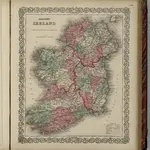 1869|Colton, G.W.1:1 300 000
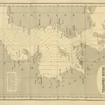 1869
1869
Mapas antiguos de Arklow
Descubra el pasado de Arklow en mapas históricos
Mapas antiguos de Arklow
Descubra el pasado de Arklow en mapas históricos
En busca de un Google Maps API Alternativa?