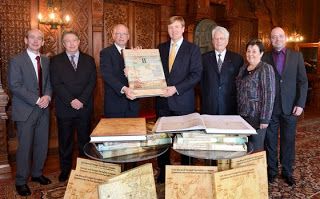
His Majesty King Willem-Alexander opens today the exhibition of Atlas Neederlanden.
The MapTiler software has been used to produce the interactive online presentation of the historic maps from this atlas.
Klokan Technologies GmbH in cooperation with the team from the University of Amsterdam has been processing these beautiful maps on the Dutch national research HPC Infrastructure of the SURFsara supercomputer centre.
The special collection of historical maps shows in the map image the genesis of the Kingdom of Netherlands. The Atlas of Neederlanden which was recently restored and digitized and processed with the MapTiler software. This atlas consists from nine parts and contains 618 maps of the Netherlands from the 17th to the early 19th century and represents the largest collector atlas of the country.
The exhibition called Atlas of Neederlanden: the dawn of the Kingdom at the University of Amsterdam which was opened by His Majesty King Willem-Alexander on October 18 2013 and will last until 9 February 2014 celebrates 200 years Kingdom of the Netherlands.

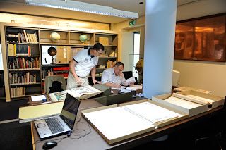
It began in 2010 with the restoration and digitization of maps. The process was completed late last year. This made it possible to publish these maps for the first time.


